ACCESSING MARAPIKURRINYA
Monash University Masters Project





MARAPIKURRINYA is the Kariyarra word for PORT HEDLAND
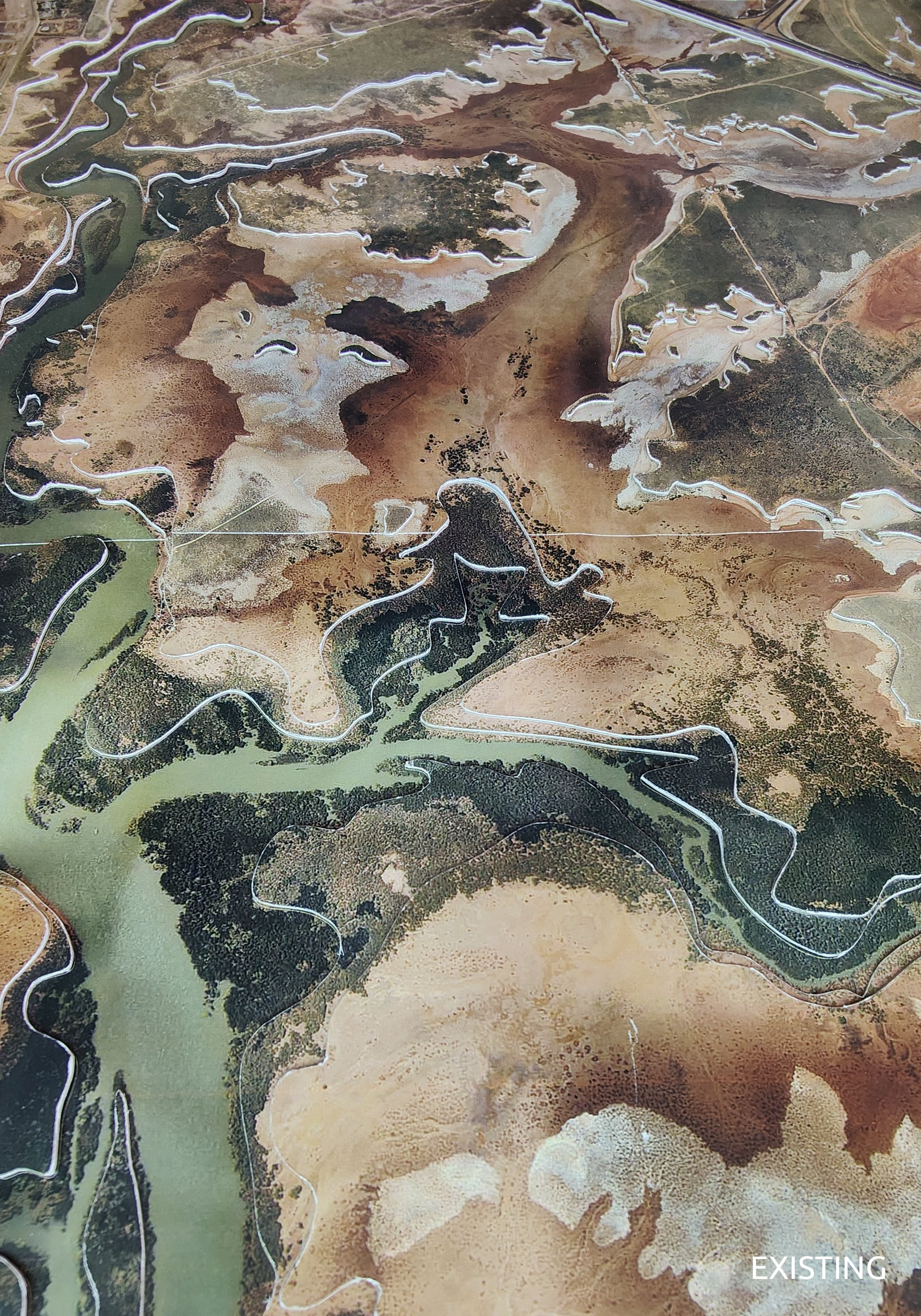
It refers to the hand like formation of the tidal creeks coming off the harbour
(mara = hand, pikurri = pointing straight, and nya = a place name marker)
AUDIENCE:
The 3 converging population types of Port Hedland:
THE FIFO WORKERS:
Located on the northern desert coastline of the Pilbara region in Western Australia, Port Hedland is the world’s largest bulk export port. It boasts almost 300km of coastline consisting of mangroves, reefs, rocky outcrops and sandy beaches, and it’s township (in 2011) supported a population of 15,044 people.
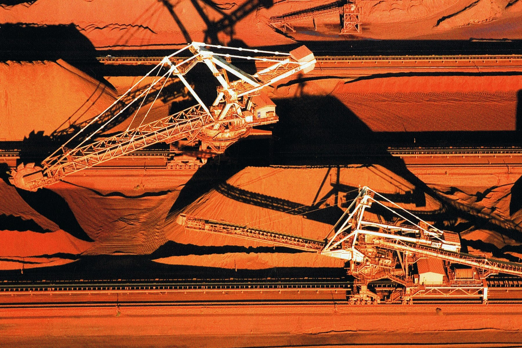
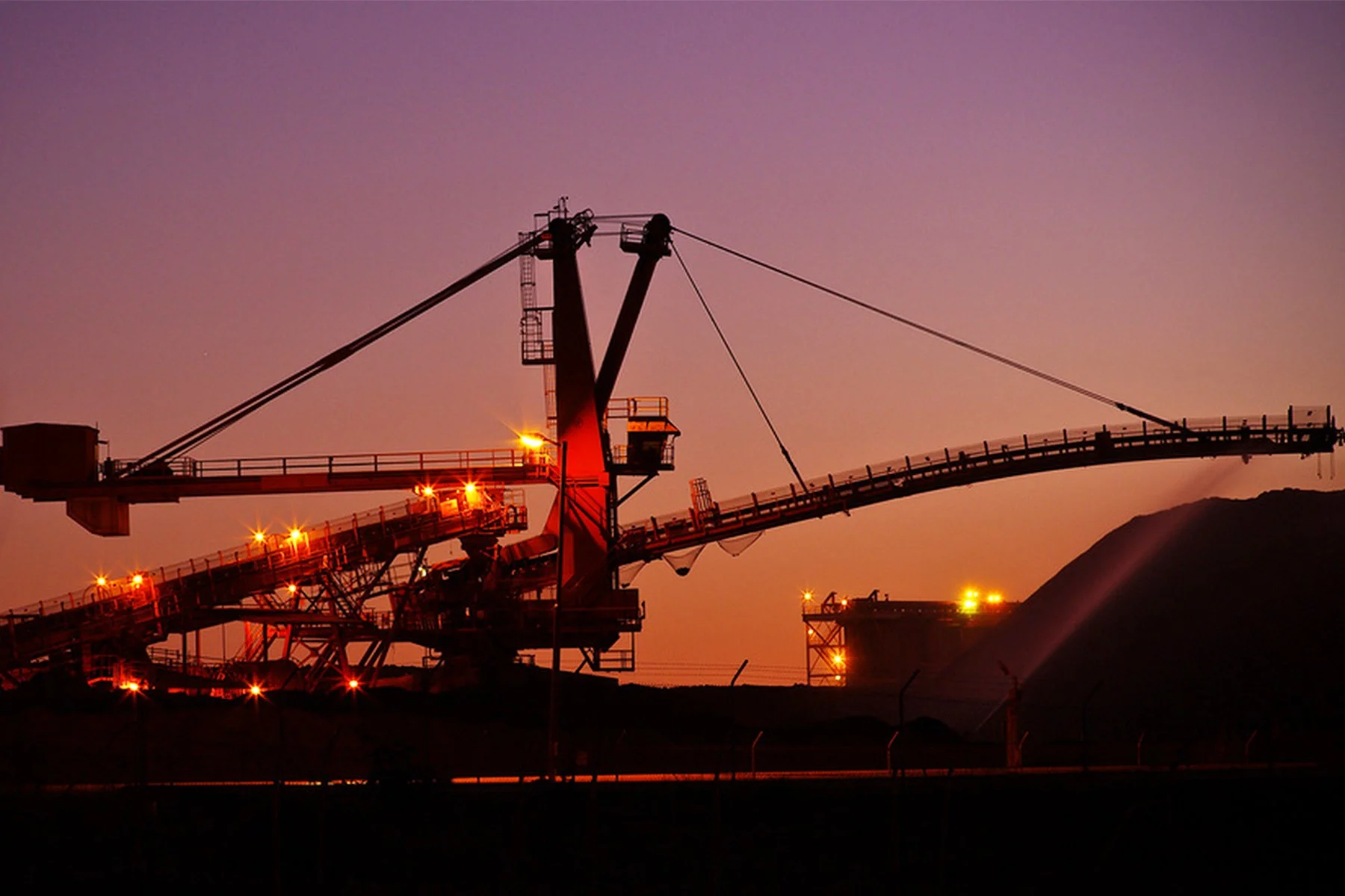
The industrialisation of Port Hedland began in 1899 when the first jetty was built to export tin ore bound for Singapore. Not long after World War 2 iron ore was discovered in the region and the mining boom has been ongoing ever since. In 2012 the giant industrial fields of BHP Billiton, Fortescue Metals and Atlas Mining were fed by 17 inland mines via kilometer long trains, and a total of 246.7 million tonnes of bulk ore was exported in the one year.
This enormous industrial machine requires thousands of employees to feed it, and due to Port Hedland’s remote location the majority of these workers are transient and are employed on a Fly-In-Fly-Out basis, abbreviated to FIFO. A work schedule example would be 2 weeks on, working 12 hour days, and 1 week off usually spent back at home with their families. The inconvenience of such an arrangement is heavily compensated for which results in a highly paid population who have no long-term investment in the community of the town because their hearts and lives are back in their home cities with their families.
THE TOURISTS:
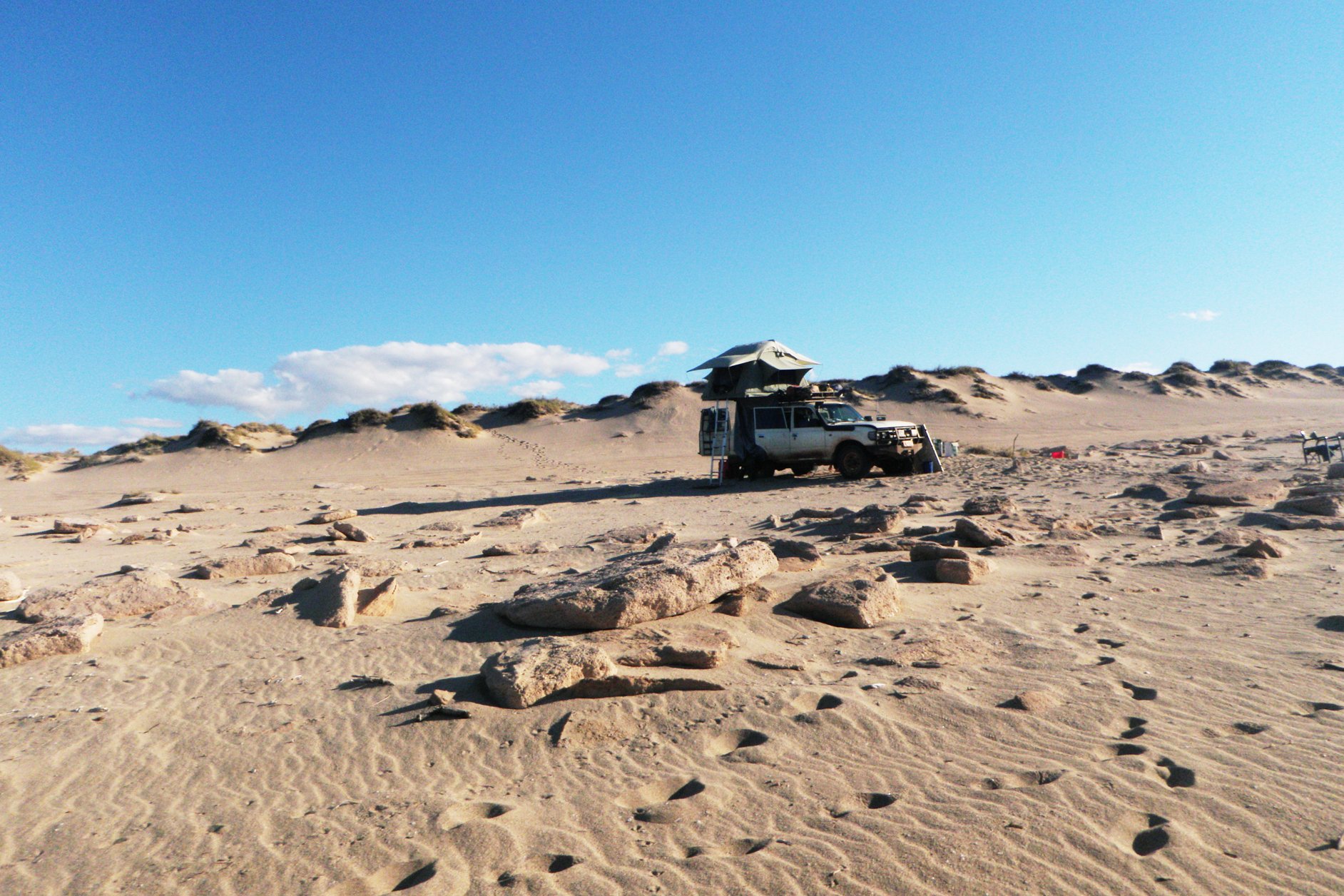
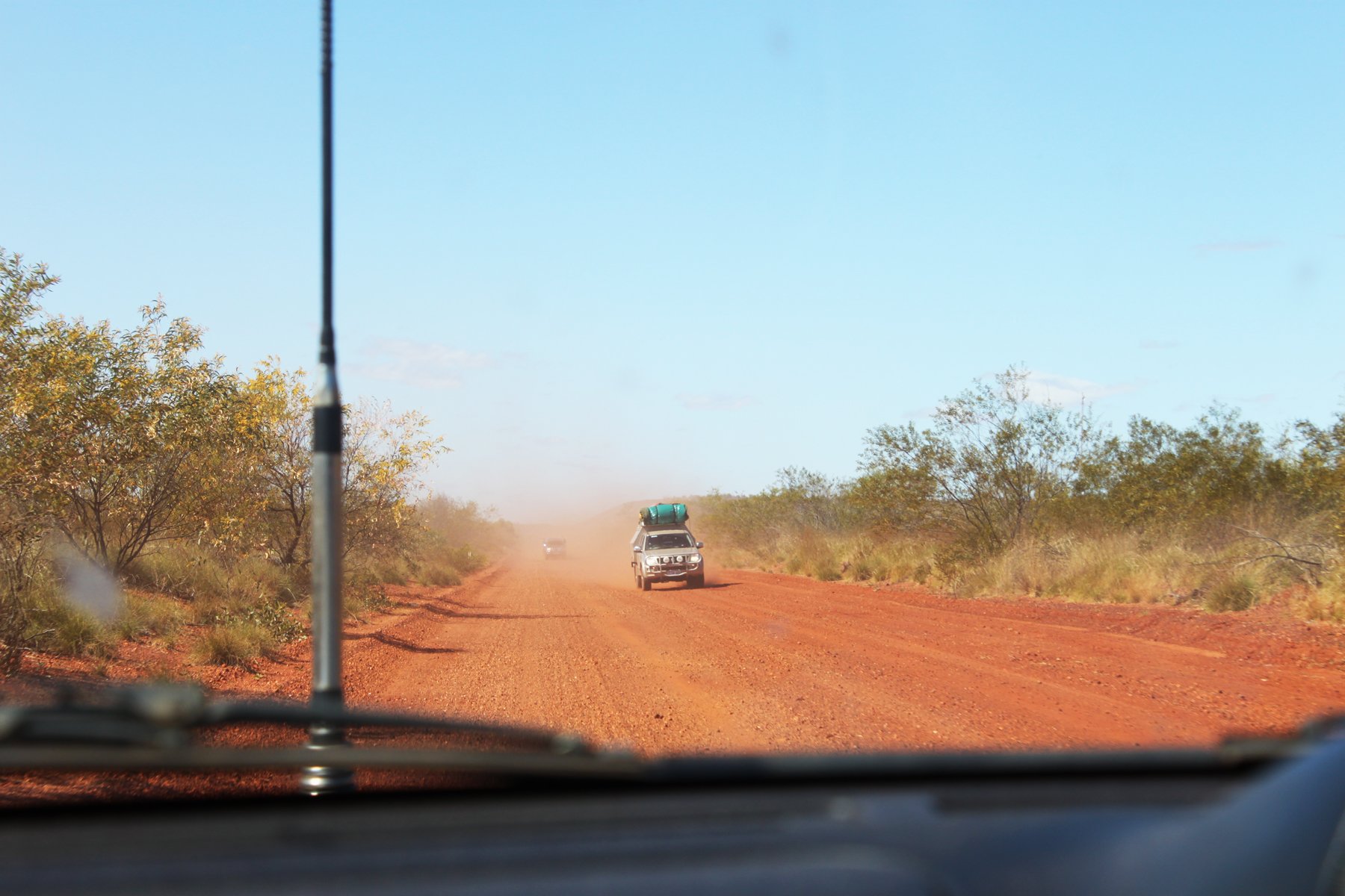
Port Hedland is conveniently located on the Great Northern Highway which links Perth to Darwin, and forms part of the A1, one of the longest roads in the world. This major highway route connects every mainland state capital of Australia along it’s 14,935km length. Completing the ‘Big Lap’ on the A1 is an incredibly popular travelers dream. However, even though the Pilbara region attracts 300,000 tourists a year, only one third of them visit Port Hedland, and even less stay the night. The limited availability, high cost, and generally poor quality of tourist accommodation is to blame for this. According to the Caravanners Forum, Karratha which is 2 hours south of Port Hedland is the preferred destination of 95% of tourists who pass through.
THE LOCALS:
For any town to thrive the long-term investment in the community of it’s locals is essential. It is the locals who are the supermarket shelf stackers, the cutters of hair, the creators of pub meals, and the pourers of the beer. It is also the locals who are the petitioners for facility funding, volunteer work-force for environment conservation, and proud greeters of visitors. Without these valuable people and services the town dies. Sadly for Port Hedland, the locals are leaving in large numbers due to the inaccessibility of affordable housing. When housing availability is limited it’s worth is determined by the highest bidder, and in this case it is the FIFO workers who have claimed a large majority of Port Hedland’s housing, paying prices that the locals simply can’t afford.
CLIMATE:
Along with it’s unique social situation and accommodation shortage issues, Port Hedland is also located in an extreme climate. The desert region of the Pilbara not only suffers from debilitatingly high temperatures for several months every year, but it’s coastline is also considered to be the most cyclone-prone stretch of coast in the world, averaging four cyclones a year. It is only in recent times through the availability of modern technology that the essential need for ‘shelter’ in such harsh and sometimes treacherous environments can now be designed and engineered to accommodate brief visitors. Historically speaking it has only been native people, with their cultural understanding of the climate and the resulting development of skills, who could survive in such intensities. These traditions of adaption and ingenuity with only limited resources can provide many invaluable lessons to help us not just survive but also to thrive in these conditions.
SITING:
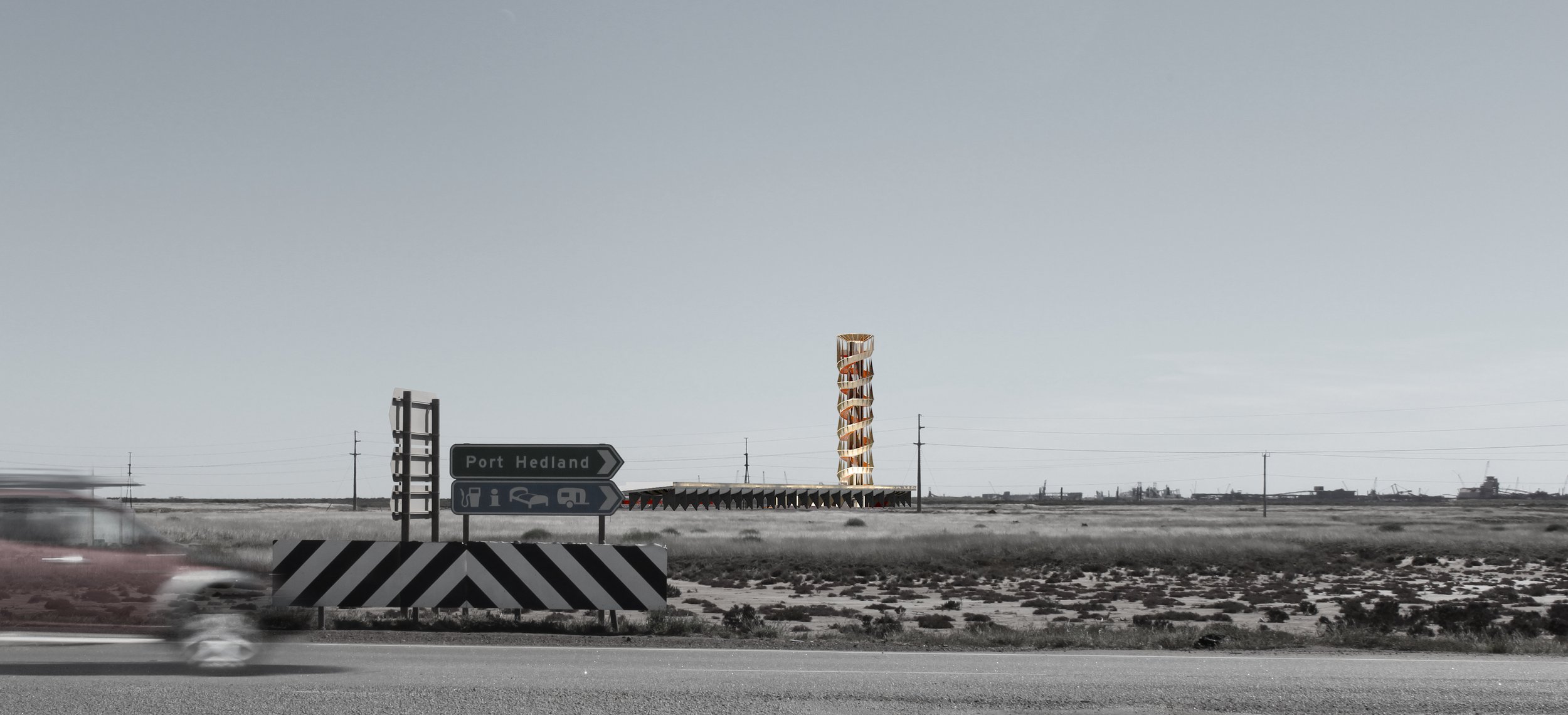
Port Hedland comprises the township of Port Hedland on the northern peninsula, the harbour surrounded on three sides by ship loading facilities, the industrial park of Wedgewood to the south of the harbour, the salt plains, an international airport, and the satellite suburb of South Hedland where the majority of the population live. The A1 highway passes between the two residential settlements where it briefly joins the local road connecting Port and South Hedland, before moving south-west towards Karratha, or east past the airport towards Broome. The area through the center here is flat, arid, and completely uninviting. The huge expanse of the harbour, and the quirkiness and wonderfully unique qualities of the town are completely missed by those driving through. The only dominating features on the landscape are the enormous Stackers and Reclaimers that surround the port, and a huge pile of salt.
What Port Hedland needs is a welcome parade at the intersection between the interstate path, the local path, and the water. A parade that draws together all 3 populations of this town, that they might begin to benefit one and other, around the simple vision of making social use of the harbour that has been solely dominated by industry for too long.
PROGRAM:
Accommodation is Port Hedland’s biggest issue, particularly for tourists. The enormous wealth that the mining industry brings to this town is mostly retained within the FIFO community. This wealth has pushed house prices up which is pushing the locals out. Tourism is another wealthy industry that many local communities around Australia benefit from, but the consistent stream of tourists moving through the vicinity of Port Hedland is currently underutilised. The existing accommodation for A1 highway tourism is limited to only two caravan parks, one in Port Hedland and one in South Hedland. Both are permanently crowded with FIFO workers who can’t find available houses to rent, and locals who can’t afford any of the houses if they were available to rent. Therefore not only is there limited space for the tourists, but the over-representation of permanent set-ups creates atmospheres that are unwelcoming to outsiders. This situation also provides the parks with guaranteed, uninterrupted income streams which has resulted in a lack of competition between the two and therefore little motivation for upkeep or providing quality facilities and services. This issue extends even further into the other forms of temporary accommodation in Port Hedland that cater for those flying into the town. The many hotels and motels are also completely booked up by FIFO workers and consultants.
CONCEPT:
The solution that I am proposing is to provide a facility that caters to the accommodation needs of tourists, the recreation needs of the FIFO workers, and the economic needs of the locals. It is to be a reference point and welcoming beacon that connects the A1 highway to the wealth of the Port Hedland waterways, and brings the two communities of Port and South Hedland together. The vision is to provide a mixed-use program which celebrates recreational use of the water and brings together all 3 populations of Port Hedland in a positive atmosphere where they can be inspired by each other. The enthusiasm of tourists can inspire township pride in the locals and FIFO workers, leading to community investment. The accommodating nature of country town locals can inspire a sense of home in the FIFO workers and tourists who are far from their own. And the fascinating lifestyle of FIFO workers and their industries can inspire tourism interest and dollars to stay in the town.
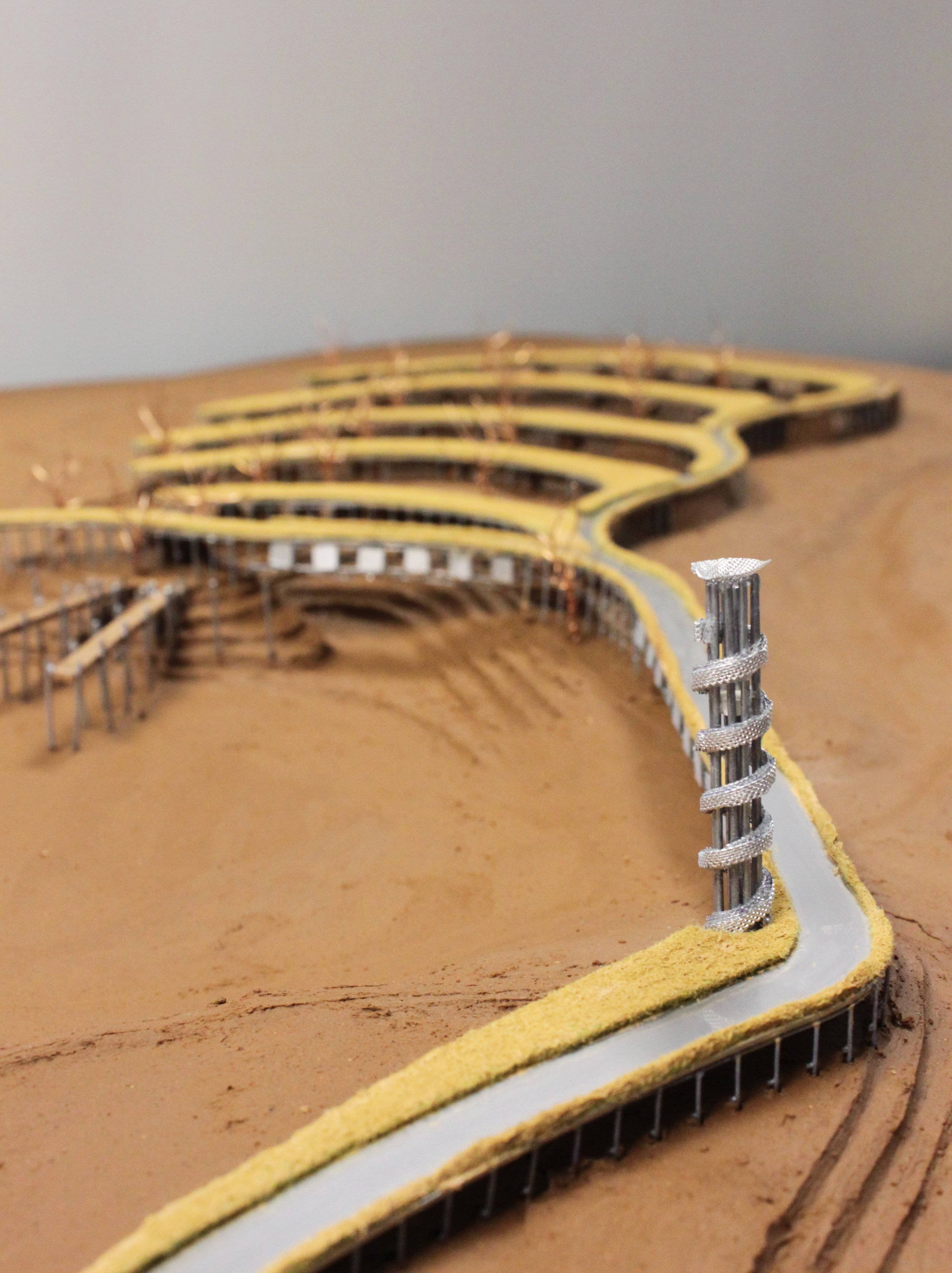
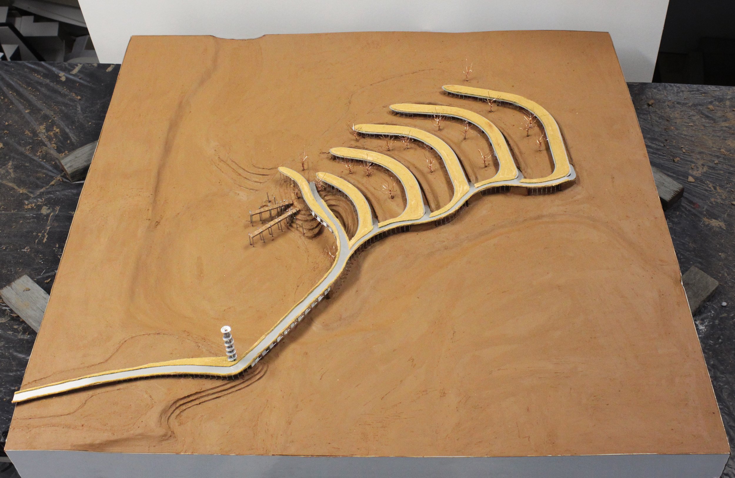
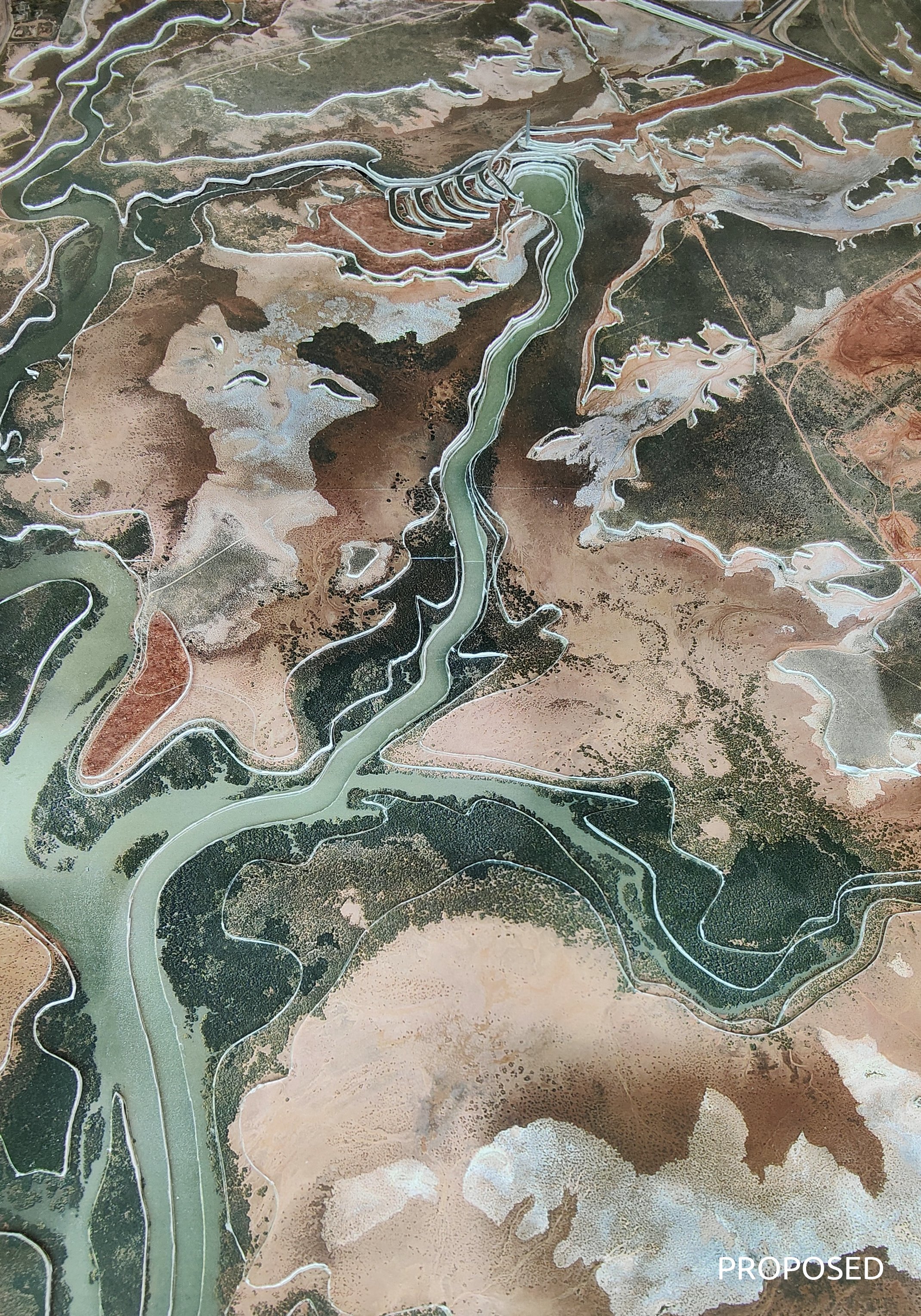
My proposal is to build up the higher levels of the harbour flood-plains directly to the north-west of the Great Northern Highway / Wilson Street intersection and extend the fingers of the waterways into this development area. The facilities are to include; a marina that provides boat access to the harbour within close proximity of the South Hedland population, and a look-out tower that is to be visible from the highway where it will be an invitation for visitors to stop and explore. This tower will provide an elevated view of the vastness and the magnificent colours of the Port Hedland harbour whilst also contrasting it’s uses between large scale industry and small scale recreation, sparking interest to learn more about this fascinating town. Beyond the tower is to be various types of accommodation spaces suited to different types of travelers as well as community facilities to be of benefit to the whole town.
The development is also to have a keen focus on mitigating the extreme elements of the Port Hedland climate so to encourage visitors to stay longer, including during cyclone season. The facilities are to be designed to provide shelter and alleviation from the extreme heat, wind and rain whilst at the same time maintaining a sense of connection to the uniqueness of the desert environment.
TYPOLOGY:
The original Kariyarra name for Port Hedland uses the word ‘mara’ to describe the hand-like formation of the harbour inlets. This observation of the shape of the land was made before aerial views were available. I was so fascinated by the ingenuity of this that I started looking more deeply at the symbols and shapes used in Indigenous art and architecture.
The boomerang-like shapes found in many works of art are actually not boomerangs at all. This shape is used represent the indent a seated person leaves in the ground. They represent people. These depictions of people are often shown to be gathering around and focusing in on a central point. It’s a community. And then other, larger boomerang shapes are also used to represent the organic walls that would be constructed to provide wind protection around these gatherings.
This boomerang shape inspired me in a practical sense for the way it shields it’s occupants and provides a sheltered space on it’s inner side, and also for it’s symbology when grouped as a community, representing a focusing towards something central.
SITE PLAN:
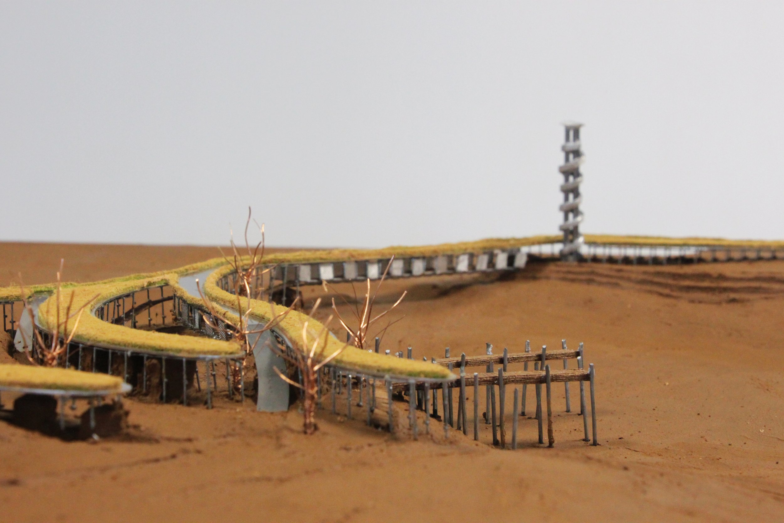
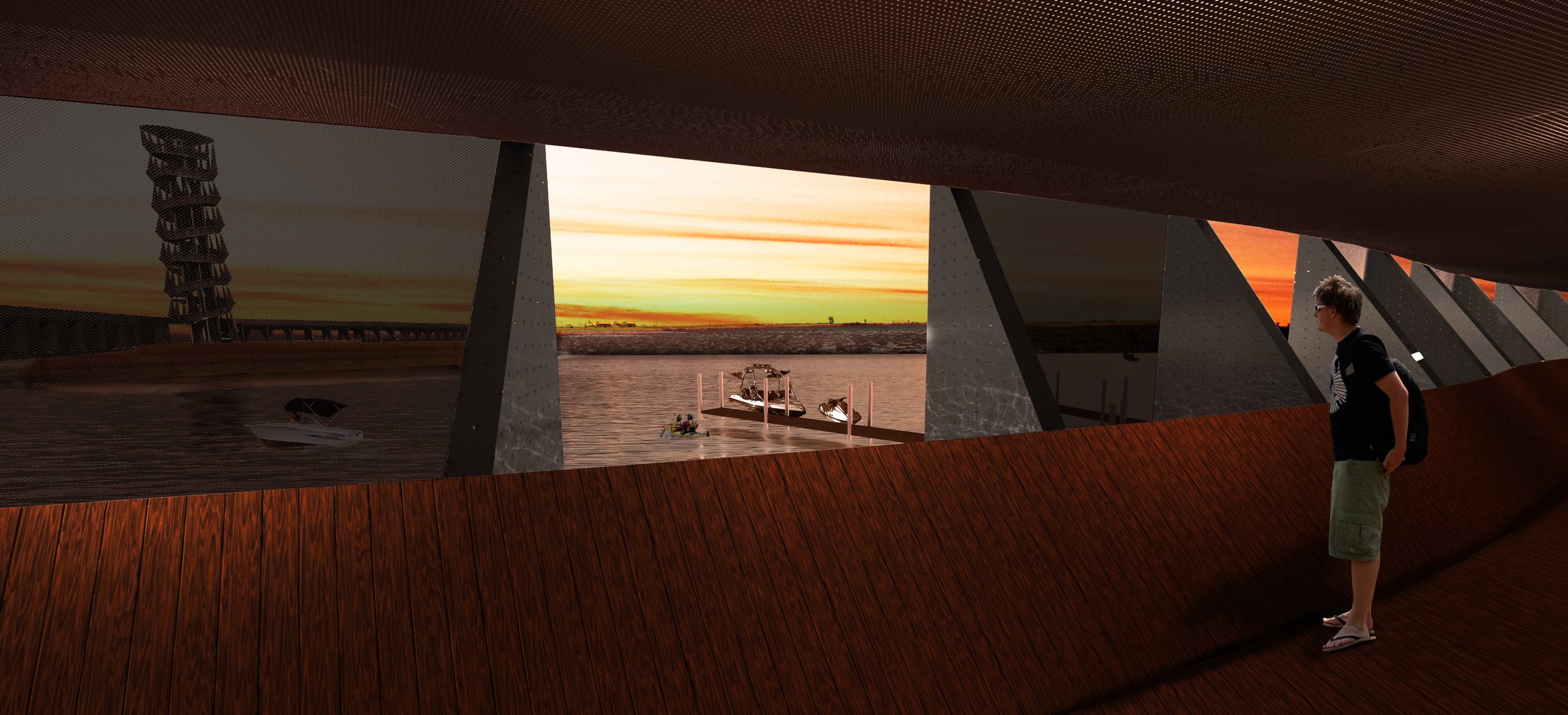
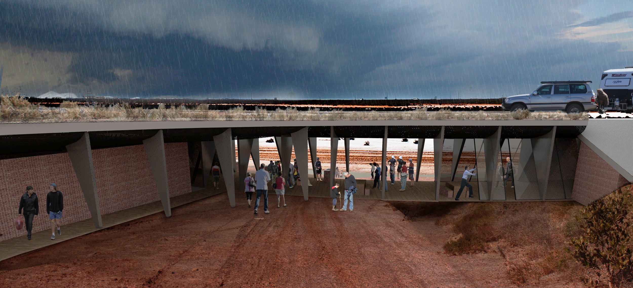
The final development lays out the site with six boomerang-shaped roof structures that shelter the programs beneath and in front of them as they all focus towards the central gathering point; the water. As a visitor leaves the highway and heads towards the tower they first come across car parking for the tower visitors and an open picnic space provided next to the water’s edge. After climbing the tower and being ‘wowed’ by the expanse of Port Hedland the bridge will take them across the waterway where the first roof structure houses a public restaurant and bar overlooking the marina jetties. Behind this is a smaller inlet which is surrounded by motel accommodation, and the remaining four structures house caravan and camping sites, and their facilities. The curving roof structures are all connected by an elevated road, and sheltered beneath it are communal kitchens, bathrooms and dining spaces. A boat ramp is found next to the bar and restaurant where diners can enjoy watching the skilled and not-so-skilled attempt to back their rigs into the water, and car and trailer parking can be found off to the far side of the camp sites.
The intention of this layout is to provide sheltered communal spaces, both open-air and roofed, whilst also maintaining a sense of space. A common feature of facilitated camping sites in parks around Australia is your close proximity to other campers. Your view is generally dominated by the back of other camping set-ups. But this is the desert, there is an abundance of space, and therefore the vision of these facilities is to provide the conveniences and comforts of many amenities whilst at the same time maintaining one of the desert’s most defining features; spaciousness. Such a unique travelling experience, which mirrors the unique qualities of Port Hedland, would become a ‘must stay’ in every travelers itinerary.
FLOOR PLANS:
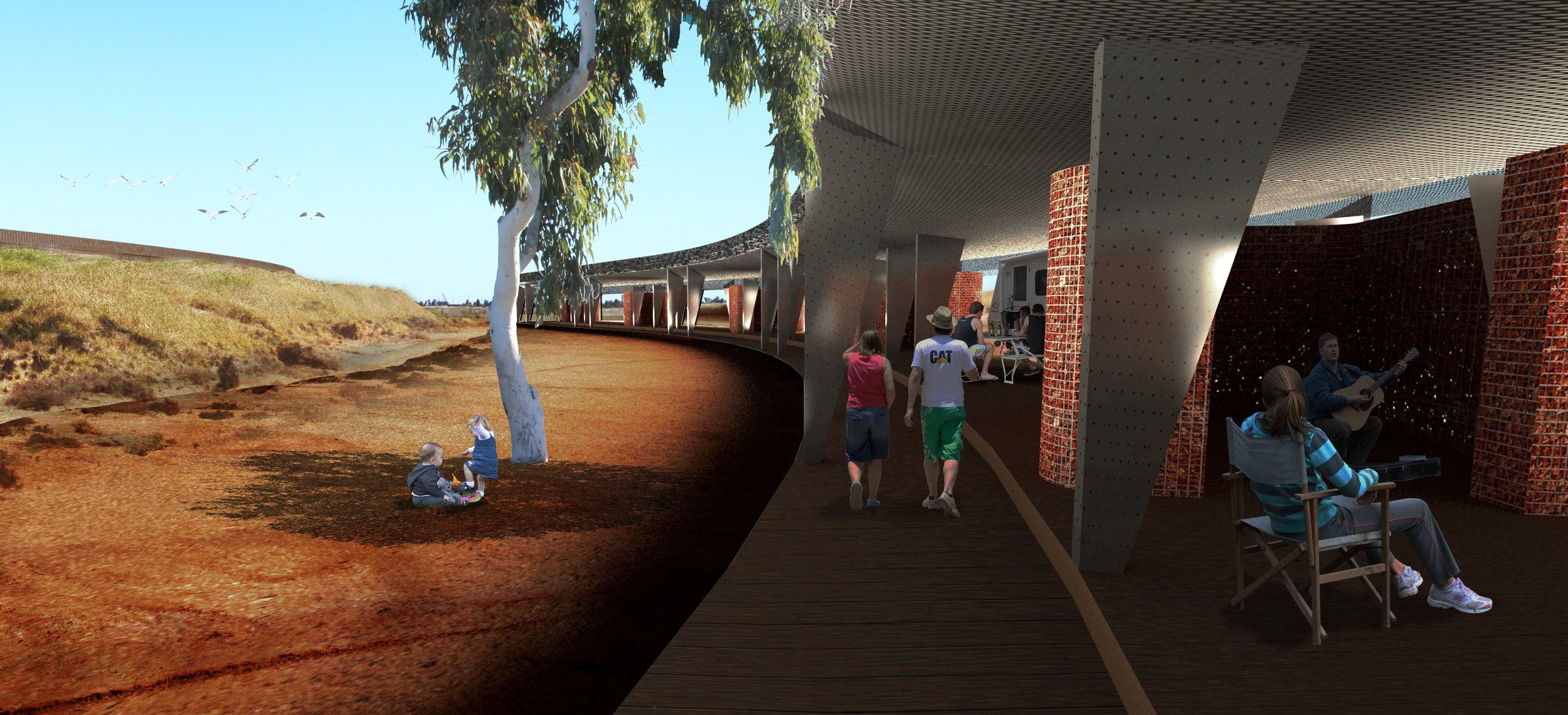
The accommodation facilities consist of three different types; camping sites sharing the communal facilities, camping sites with private facilities, and 2 bedroom guest suites. Each accommodation type is housed under the large curving roof structures where they can enjoy an abundance of shade. In the case of a cyclone the structures provide shelter and anchor points for cars and caravans.
Each camping site includes an undercover outdoor space and an enclosed pod space. The pod spaces create a sense of separation between each of the sites, and can provide extra shelter from the elements if need be. They are also where loose items can be stored during high winds. Caravans can be pulled up right next to their own outdoor shelter where the outlook is to the serenity of open space.
The guest suites are on two levels. The first floor living spaces look out over the marina, and the ground floor bedrooms are partly dug into the ground where they can experience increased comfort during high temperatures.
DESIGN STRATEGIES:
Mitigating the extreme conditions of the Port Hedland climate are a high priority to ensure visitors to the area have an enjoyable stay.
The design of the development seeks to make the most of shade, thermal mass and the cooling properties of water for the high temperature months. And in cyclone season the aerodynamics of the structures seeks to work with the high winds rather than against them, whilst the land is also molded to carry large amounts of rain away from the facilities quickly.
SECTIONS:
The large curving roofs of the development are created using highly structural steel trusses in the shape of inverted aeroplane wings. These are designed to carry vehicle traffic, foot traffic, and landscaping. They’re supported through the bridge, and anchored to the ground by vertical fin walls that all work together to create long lengths of curving space frames.
Gabion walls are used to enclose the internal spaces and to retain the landscaping elements. These provide extra thermal mass under the roofs, and are highly beneficial for their porosity that allows cool breezes to cross through the indoors.
The combination of steel and stone is an ode to the life-cycle of iron ore, and is a fitting aesthetic for the enormous industrial success of a town like Port Hedland.
Large mounds of landscaping are purposefully molded to protect each camping section from the rainwater run-off of the one behind. This rainwater is directed into channels that carry the water away from the development. These mounds also work to screen one camping section from the next and are planted out to enhance the feeling of desert spaciousness for each camping location.
